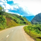
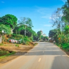
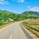
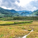
Son La is province of mountainous northwestern Vietnam, the province has an area of 14,125 km2 and ranks 3rd in the 63 provinces. Geographic Coordinates 20039 ' - 22002 ' north latitude and 103 011 ' - 105 002 ' east longitude. Boundaries: north border of the provinces of Yen Bai, Dien Bien, Lai Chau; east of Phu Tho, Hoa Binh; west of Dien Bien province; adjacent to the south and Thanh Hoa Province 's Democratic Republic of Lao People with long common border of 250 km, the length bordering other provinces is 628 km. Son La has 11 administrative units (1 city, 10 districts) with 12 ethnic groups. Most of today's Son La province (including Son La city, Moc Chau, Yen Chau, Mai Son, Song Ma, Thuan Chau) before 1479 as the kingdom's territory Tank Man (including Tuong Duong, Ky Son of Nghe An, Quan Hoa, Quan Son, Muong Lat of Thanh Hoa , Hua Phan of Laos and Son La province.


